|
||||||||
|
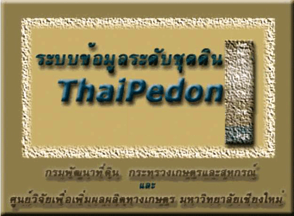
Typical Soil Series' Profiles (ThaiPedon version 2.0) |
||||||||
| ThaiPedon was developed by Visual Basic 6.0 with Map Object 30 for retrieving soil typical profiles (USDA, 1999) from the soil maps. Their descriptions included taxonomy, properties and pictures of the profiles. The system combines soil map of scale 1:50,000 in shape files and their attributes that were linked with their pictures by Microsoft JetOLEDB 4.0. There are main menues: areas, administrative units, soil information and their suitability in specific purposes. | ||||||||
 |
||||||||
|
||||||||
|
||||||||
|
||||||||
|
||||||||
|
||||||||
|
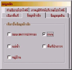
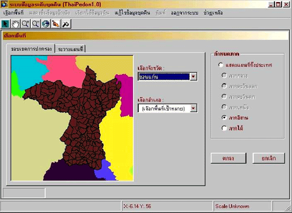
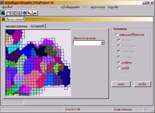
Picture
1 : Selection area
|
||||||||
 |
||||||||
 |
||||||||
|
||||||||
|
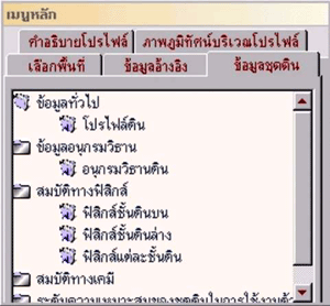
Picture 2 : reference
|
||||||||
|
|
||||||||
 |
||||||||
|
||||||||
|
Picture 3 : Soil profile
|
||||||||
|
|
||||||||
|
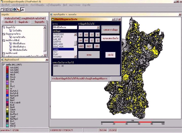
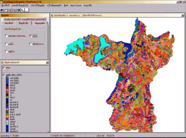
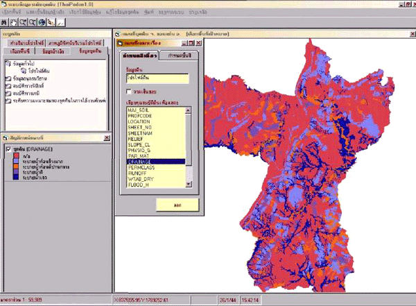
Picture 4 : thematic
map
|
||||||||
 |
||||||||
|
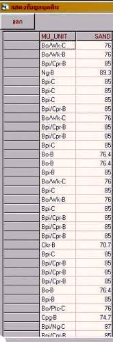
Picture 5 : area which
sand more then 40 %
|
||||||||
|
||||||||
|
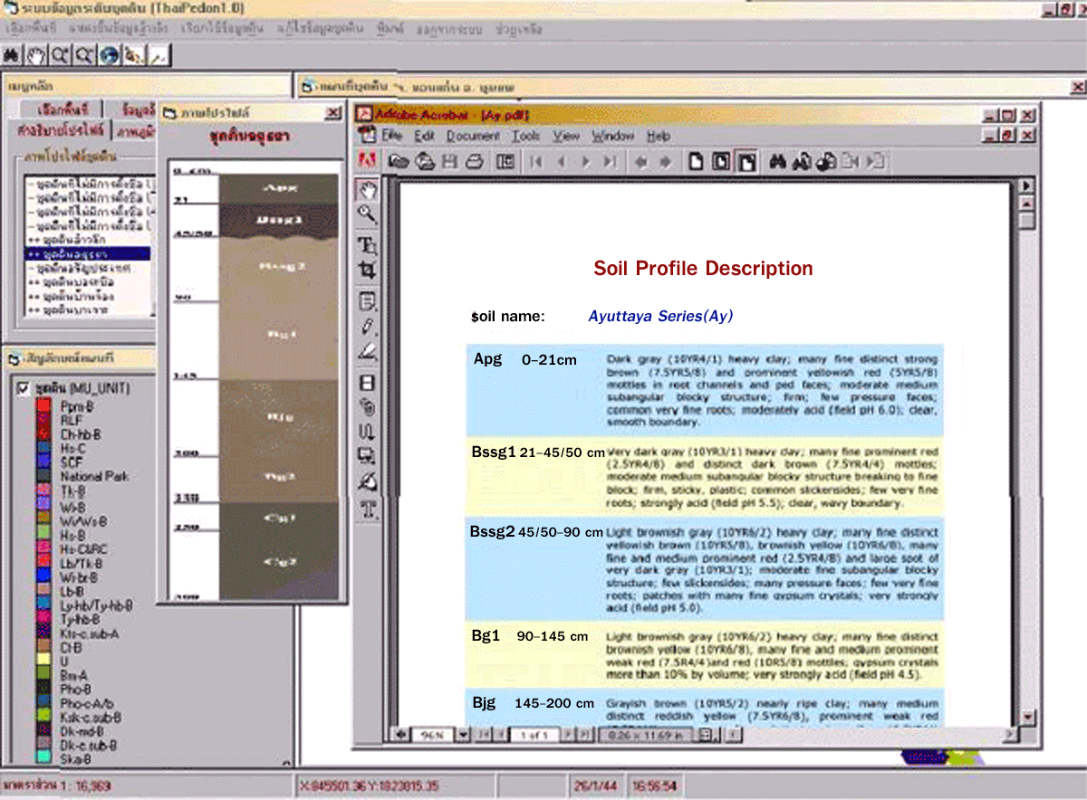
Picture
6 : Soil profile description and figure
|
||||||||
 |
||||||||
|
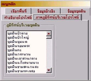
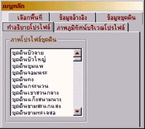
Picture
7 : menu for selection soil profile
|
||||||||
 |
||||||||
|
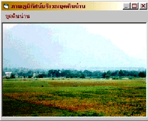
Picture 8 : landscale
of soil
|
||||||||
|
||||||||
|
Land
Development Department
|
||||||||
|
2003
/ 61 Phaholyothin Rd. Chatuchk Bangkok
10900 Thailand
|
||||||||
|
Call
: 66 - 2579 - 4132 - 40 or 66 - 2941
2131 www.ldd.go.th or
www.gisservice.net
|
||||||||
|
Copyright
2002 Land Development
Department
|
||||||||