
|
|||||
|
Physical Land for Eco- Crops (Zoning version 1.0) |
|||||
| Zoning: is an application program for physical land evaluation for economic crops under ArcView environment in Thai Graphic User Interface Windows bases on FAO physical land evaluation. It can be used as tool to support management and decision-making in limiting the crop production supply according to the demand of the market. | |||||
|
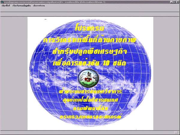
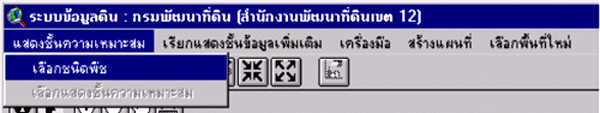
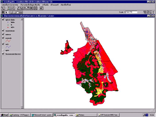
Picture 1 : main
menu
|
|||||
 |
|||||
|
|||||
|
|||||
|
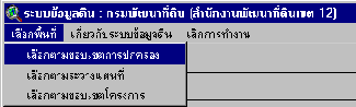
Picture 2 : site selection
|
|||||
 |
|||||
|
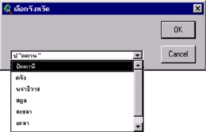
Picture 3 : Province
selection
|
|||||
 |
|||||
|
|||||
|
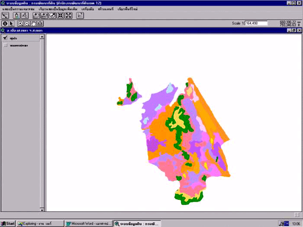
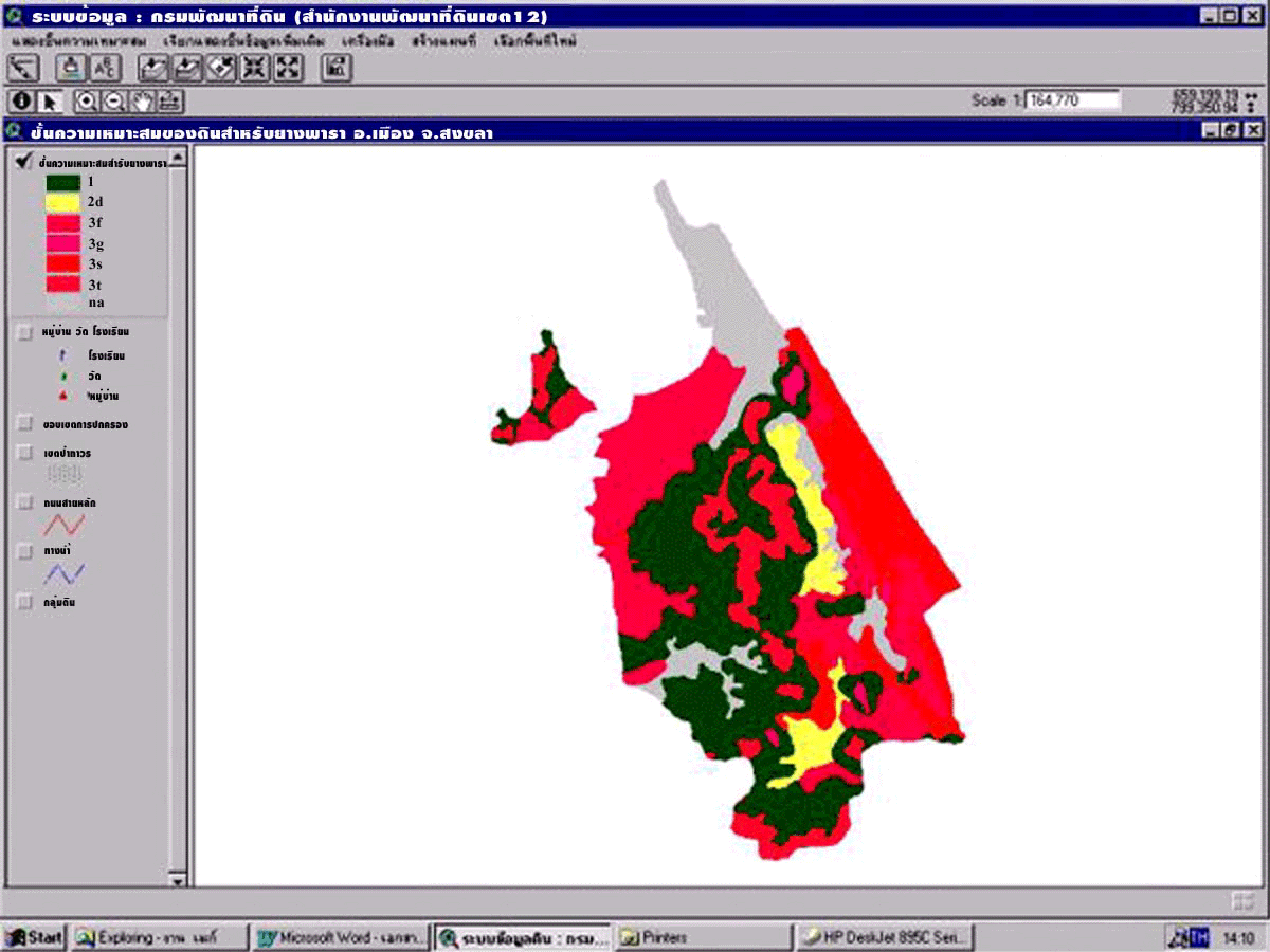
Picture 4 : Physical
suitability for specific crop
|
|||||
 |
|||||
|
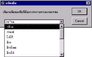
Picture 5 - 6 : crop
type
|
|||||
 |
|||||
 |
|||||
|
Soil Suitability class for special
crop
|
|||||
|
Picture 7 : Soil suitability
map
|
|||||
 |
|||||
|
|||||
|
|||||
|
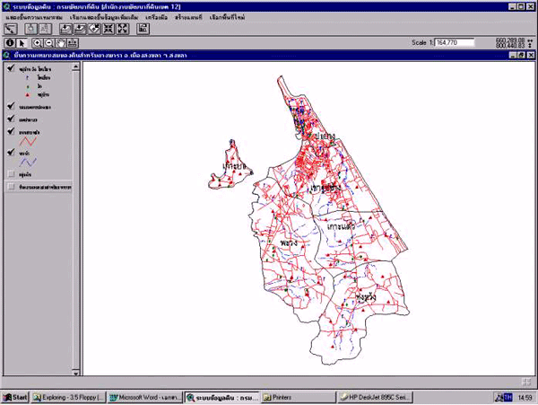
Picture 8 : base map
|
|||||
 |
|||||
|
|||||
|
Picture 9 : base map and soil
suitability for economic crop map
|
|||||
 |
|||||
|
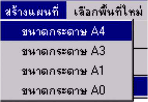
Map print cut in scale A4 ,
A3 , A 1, A 0
|
|||||
|
Picture 10 : map creation
|
|||||
 |
|||||
|
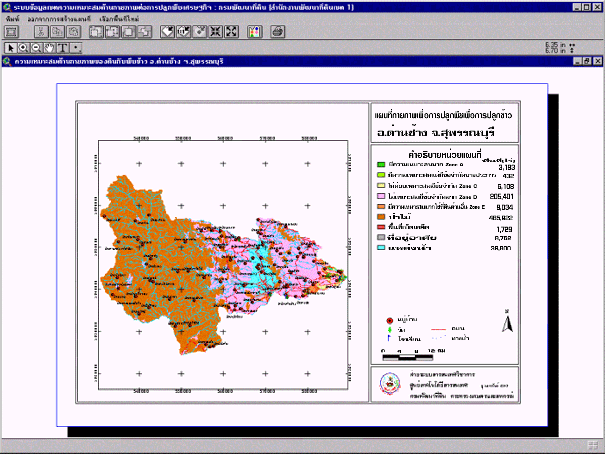
Picture 11: Map of
soil suitability for rice : Danchang District , Supanburi Province
|
|||||
 |
|||||
|
Land
Development Department
|
|||||
|
2003
/ 61 Phaholyothin Rd. Chatuchk Bangkok
10900 Thailand
|
|||||
|
Call
: 66 - 2579 - 4132 or 66 - 2941 2131
www.ldd.go.th or
www.gisservice.net
|
|||||
|
Copyright
2002 Land Development
Department
|
|||||