
|
||||||||||||||
|
Physical Land Evaluation for Farm Pond (FarmPond version 1.0) |
||||||||||||||
| FarmPond is an application program under ArcView environment in Thai language User Interface Windows. It can be used as a guideline for constructing farmpond on the basis of suitability classification for engineering use. Their descriptions included selected area, their suitability classes of soil series group, map layout and the corresponding tables. | ||||||||||||||
|
||||||||||||||
|
||||||||||||||
|
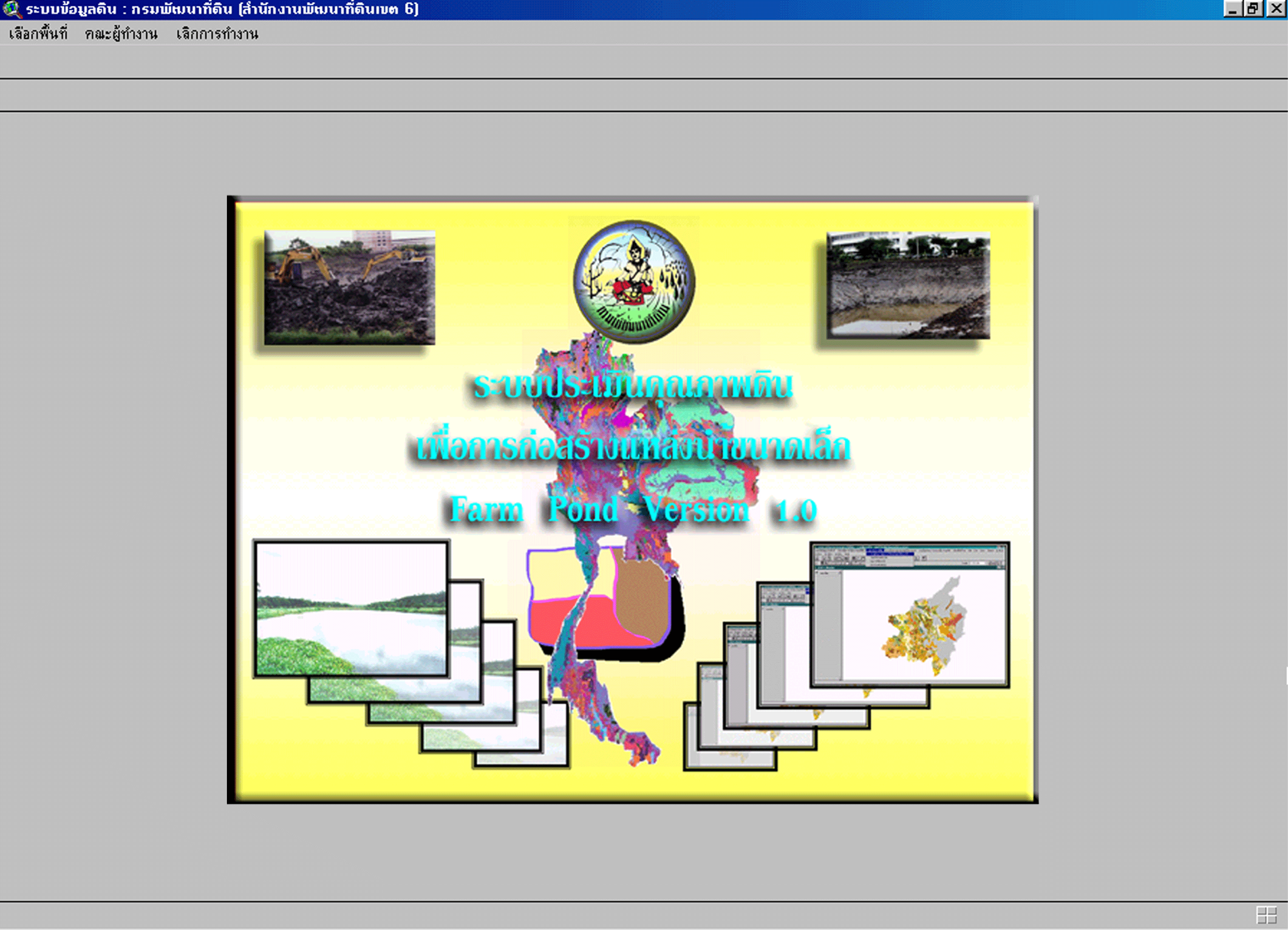
Picture : Main menu
|
||||||||||||||
 |
||||||||||||||
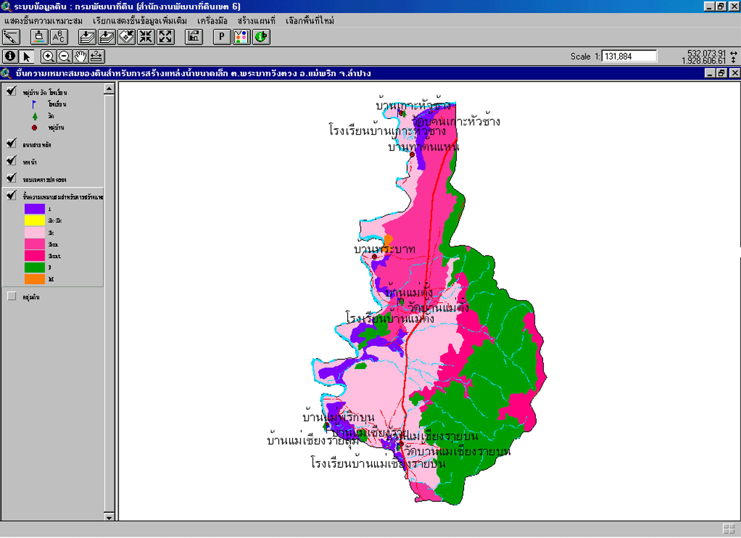
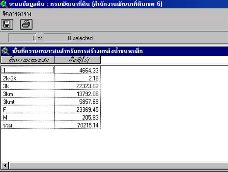
| The program can select the areas by displaying maps and also table information which as be saved in dBase files. | ||||||||||||||
|
Picture : Farm pond
potential map
|
||||||||||||||
 |
||||||||||||||
|
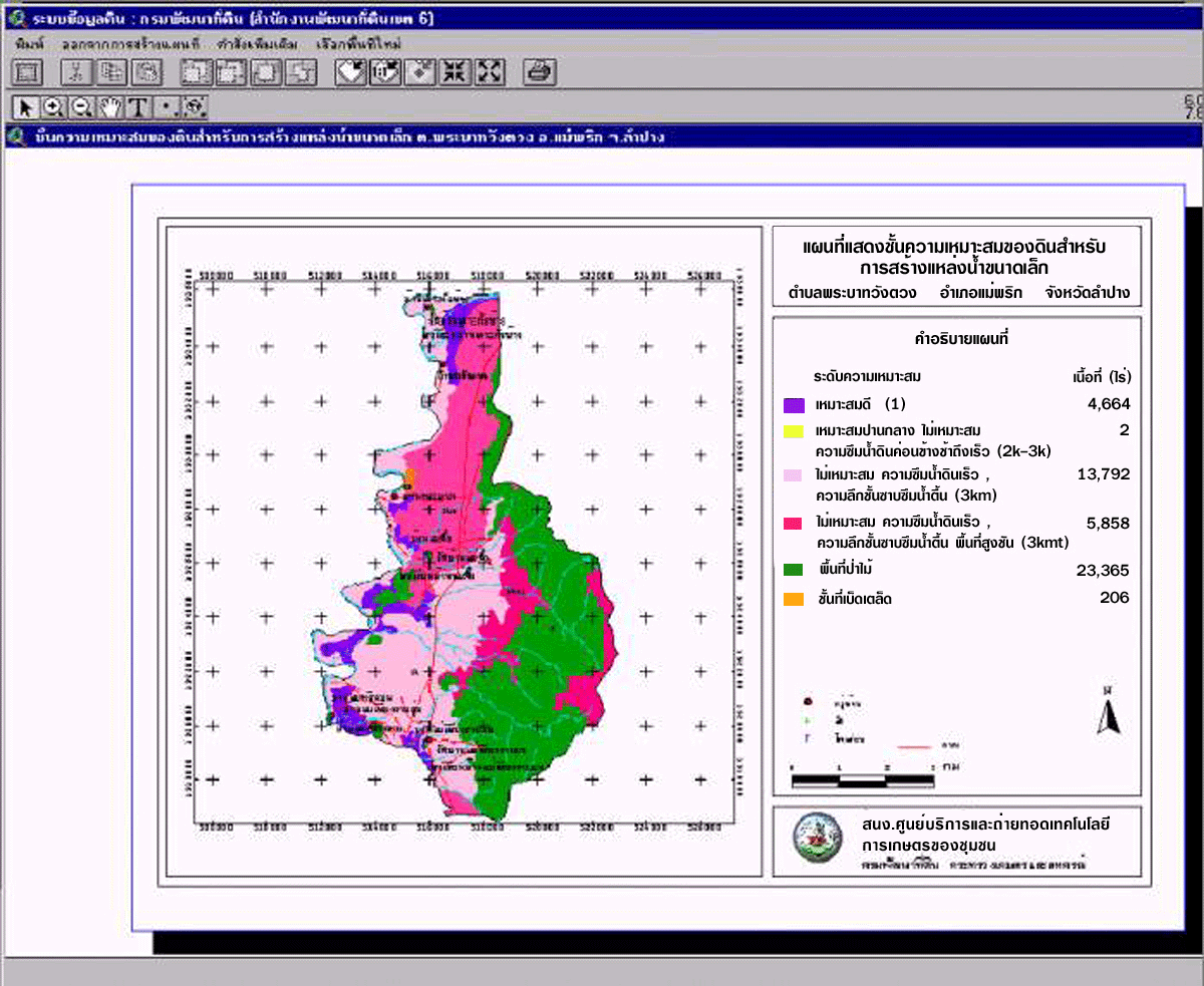
Picture : Print
out map
|
||||||||||||||
 |
||||||||||||||
|
Picture : Soil suitability
area for farm pond building
|
||||||||||||||
 |
||||||||||||||
|
Land
Development Department
|
||||||||||||||
|
2003
/ 61 Phaholyothin Rd. Chatuchk Bangkok
10900 Thailand
|
||||||||||||||
|
Call
: 66 - 2579 - 4132 - 40 or 66 - 2941
2131 www.ldd.go.th or
www.gisservice.net
|
||||||||||||||
|
Copyright
2002 Land Development
Department
|
||||||||||||||