|
|||||||||||
|
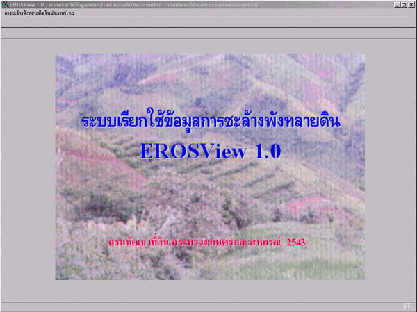
Soil Erosion (EROSView version 1.0) |
|||||||||||
| EROSView is an application program to retrieve lands that are prone to erosion under ArcView environment in Thai Graphic User Interface Windows. Spatial parts compose of soil, land use / land cover, density of rain fall and erosion hazard while soil properties, land use and names are attributes. It can be retrieving and analyzing soil erosion and factors inducing erosion through Thai menu bars in terms of administrative units, main watersheds and project areas. | |||||||||||
|
|||||||||||
|
|||||||||||
|
|||||||||||
|
Picture : Soil erosion
main menu
|
|||||||||||
|
|||||||||||
|
|||||||||||
|
|||||||||||
|
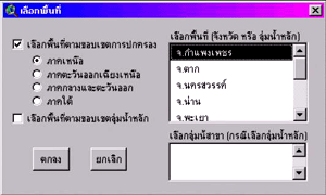
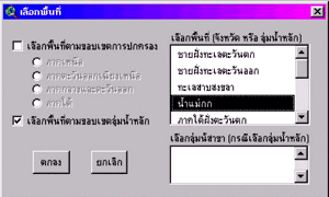
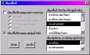
Picture
: Site selection
|
|||||||||||
|
|||||||||||
|
Picture 1.3 : sub -
watershed
|
|||||||||||
|
|||||||||||
|
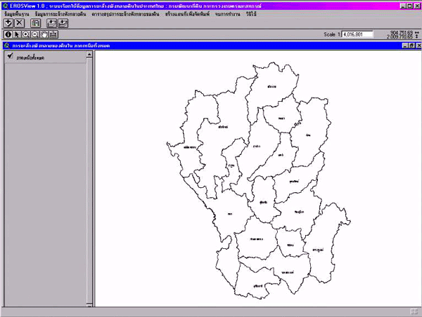
Picture : Region boundary
( North )
|
|||||||||||
 |
|||||||||||
|
|||||||||||
|
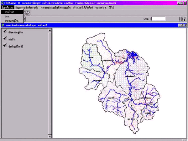
Picture : Information
of main watershed (Mae Num Tapi )
|
|||||||||||
 |
|||||||||||
|
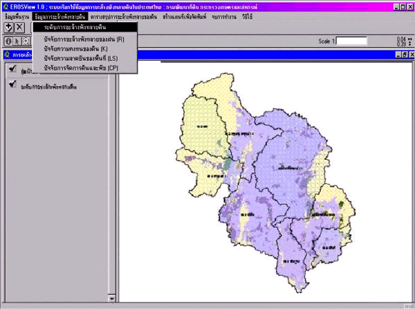
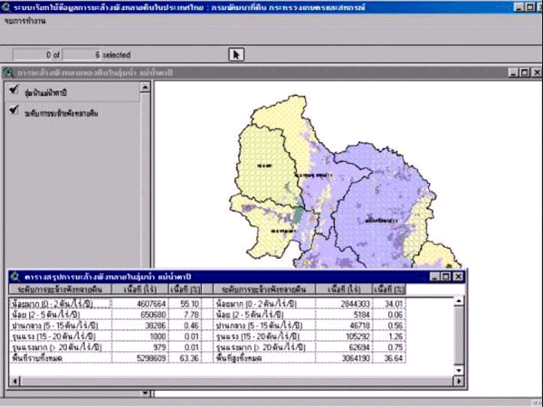
Picture : Erosion class
in main watershed ( Mae num Tapi )
|
|||||||||||
 |
|||||||||||
|
|||||||||||
|
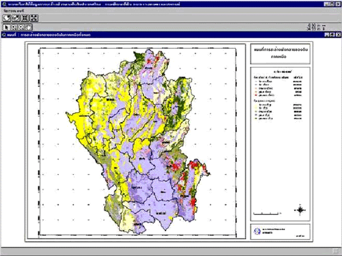
Picture : Reginal map
( North )
|
|||||||||||
 |
|||||||||||
|
|||||||||||
|
Picture : Table of
soil erosion class in watershed area ( Mae Num Tapi )
|
|||||||||||
 |
|||||||||||
|
Land
Development Department
|
|||||||||||
|
2003
/ 61 Phaholyothin Rd. Chatuchk Bangkok
10900 Thailand
|
|||||||||||
|
Call
: 66 - 2579 - 4132 - 40 or 66 - 2941
2131 www.ldd.go.th or
www.gisservice.net
|
|||||||||||
|
Copyright
2002 Land Development
Department
|
|||||||||||