|
||||||||||||
|
||||||||||||
|
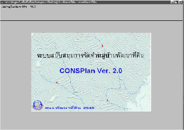
Land Development Village Conservation Planning (ConsPlan version 2.0) |
||||||||||||
| ConsPlan is an application program for soil and water conservation planning in Land Development villages under ArcView environment in Thai Graphic User Interface Windows. The objective is to assist farmers in the villages for their farms planning to sustain their lands. | ||||||||||||
|
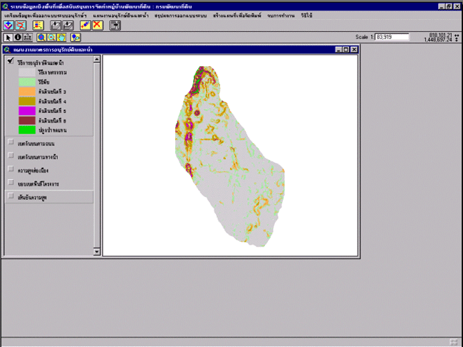
Picture 1 : Main menu
|
||||||||||||
 |
||||||||||||
|
||||||||||||
|
||||||||||||
|
||||||||||||
|
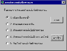
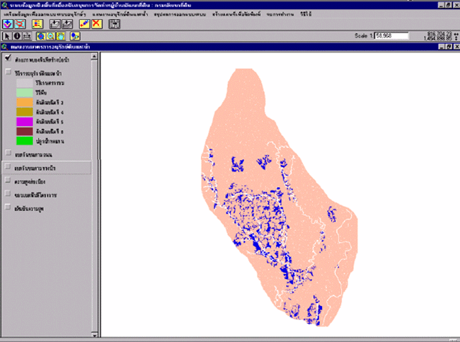
Picture 2 : Soil and
Water Conservation Measurement
|
||||||||||||
 |
||||||||||||
|
||||||||||||
|
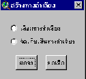
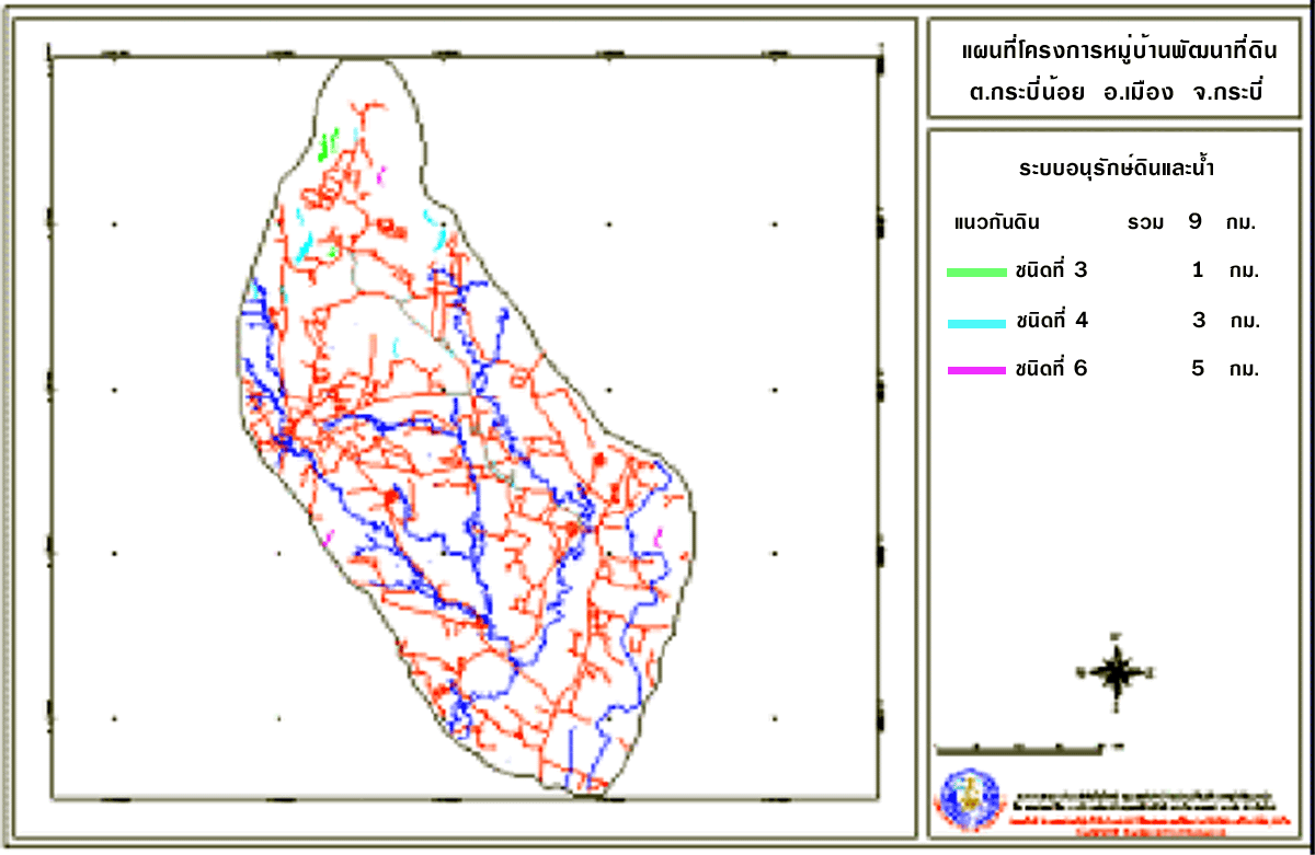
Picture 6 : Farm ponds Site
selection
|
||||||||||||
 |
||||||||||||
|
||||||||||||
 |
||||||||||||
|
||||||||||||
 |
||||||||||||
|
Land
Development Department
|
||||||||||||
|
2003
/ 61 Phaholyothin Rd. Chatuchk Bangkok
10900 Thailand
|
||||||||||||
|
Call
: 66 - 2579 - 4132 - 40 or 66 - 2941
2131 www.ldd.go.th or
www.gisservice.net
|
||||||||||||
|
Copyright
2002 Land Development
Department
|
||||||||||||